Exegesis Spatial Data Management (an Idox company)


Posts in Category: CAMS

Monmouthshire CAMS Web

Client: Monmouthshire County Council

Monmouthshire CAMS Web is a joint project between exeGesIS and Monmouthshire Council to provide an online copy of their definitive map for members of their authority. The interactive web map is hosted by exeGesIS.
 

... read more
 

Wales Coast Path Digitisation

Client: Natural Resources Wales / Cyfoeth Naturiol Cymru

Wales Coast Path Digitisation ProjectexeGesIS worked closely with Natural Resources Wales prior to the opening of the Wales Coast Path to provide a digital copy of the path for reference and release to the public in a variety of formats. The task required splitting and labelling approximately 1,500 km of path network supplied by NRW.

... read more
 

Flintshire Rights of Way Network Digitisation

Client: Flintshire County Council

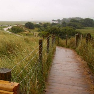
Flintshire County Council recruited exeGesIS to update their digital definitive map. The scenario was that the digital Definitive map hadn’t been updated for several years, while in that time a number of Legal Orders had come into force that changed the network, meaning their digital definitive map was out of date and inaccurate.

... read more
 

RCT Rights of Way Definitive Map Update

Client: Rhondda Cynnon Taf County Borough Council

Various datasets relating to the rights of way management in Rhondda Cynnon Taf had fallen out of date, and exeGesIS was asked to assist Rhondda Cynnon Taf County Borough Council with the task of updating and correcting this information, using data from multiple sources to do so.

... read more
 

Rights of Way Network Gradient Analysis

Client: Devon County

Devon County Council asked exeGesIS to calculate the gradients along their Rights of Way network. This would inform decisions about accessibility and the availability of the network for different users, and particularly targeting resources in order to improve accessibility.
 

... read more
 

Cornwall Rights of Way Survey

Client: Cornwall County Council

exeGesIS has undertaken 25,000 km of PROW survey and have a network of trained and experienced path surveyors. One of our largest contracts was a 100% survey of the 4,500km network of paths in Cornwall.
 

... read more
 
Page 3 of 3 << < 1 2 3
https://www.esdm.co.uk/Blog/ViewCategory.aspx?cat=117&pageid=304&mid=333&pagenumber=3