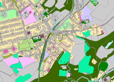
 exeGesIS were commissioned by Greenspace Scotland to produce a digital map of Greenspace for East Lothian, Midlothian and Aberdeenshire County Councils. MasterMap data were classified to a standard land use classification using MasterMap attributes and aerial photograph interpretation. These data were then quality assured and provided as a single Greenspace dataset.