exeGesIS were contracted to update and improve this toolkit, which was originally developed by HBIC as an ArcGIS VBA module working on a flat data structure. The purpose of the new habitat and land-use toolkit is to maintain and update an Integrated Habitat System (IHS) GIS layer and associated attributes in a relational database. The MasterMap-based data layers are extremely large, on the order of millions of polygons. The new tool manages the link between the data in the GIS and the data in the database, ensuring that any changes to the features or the attributes are reflected in all data.
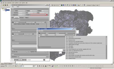 The application is composed of a relational database holding the attribute data and a synchronised GIS layer in either ArcGIS or MapInfo format, with a standalone, shared .NET component providing the link between database and GIS. The .NET component uses an abstract, strongly typed ADO.NET layer to communicate with an arbitrary database backend, giving users a wide range of choices of backend database management systems (any OleDB or ODBC source as well as native support for Microsoft SQL Server, Oracle and PostgreSQL).
The GIS layer is stored in TAB format on the MapInfo side. On the ESRI side, geodatabases (personal, file and SDE) as well as SHP files are supported. The intention is that the toolkit will be used by local records centres nationally.
Further information from Crispin Flower.