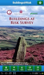
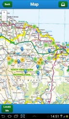
We worked with North York Moors National Park Authority to help fulfil their Heritage At Risk Pilot project, developing a mobile “app” plus mechanisms for managing authentication and synchronising the survey data with the main Historic Environment Record database.
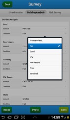
The development and User Acceptance Testing were undertaken rapidly to allow the volunteer surveyors to get out in the field as soon as possible - five weeks from design to deployment! The results were hugely positive with nearly 800 surveys quickly completed and all surveyors enjoying the process.
The National Park Conservation Officer concluded that this project had shown the way for future Heritage at Risk surveying, with significant advantages over previous methodologies.
In 2014 we are enhancing the app for a new round of surveying.

See also the Ordnance Survey case study. Further information from Crispin Flower.