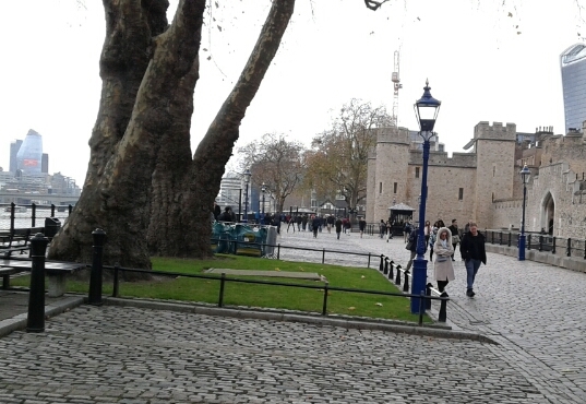
 When management of the Thames Path through London was transferred to the Thames Path National Trail Authority, exegesis was approached to complete a survey of the section from Hampton Court to the Thames Barrier.
The first stage was to digitise the route of the new section into the Authority's CAMS. This included correcting the alignment of the path against OS MasterMap and dividing the route into Link sections.
The data were then loaded to the CAMS Mobile table application for survey in the field. The information captured included spatial and text data on all the signage, gates seating and other furniture along the Trail, along with photographs. In addition, detailed information, including mapping and photographs, was captured of all problems encountered along the Thames Path.
The collected data were analysed and loaded into the client's CAMS solution, and copies of map layers, geo-tagged photos and reports were made available to Transport for London.
More information from Timothy Derbyshire.