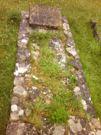
 Christchurch Borough Council required a detailed survey of the 4,000 or so graves in their cemeteries, with a particular focus on carrying out risk assessments for the headstones. In order to complete this, the Exegesis Field Surveyor application was used, with a bespoke configuration for these data.
Each individual grave was accurately plotted on the GIS map. A high-precision differential GPS receiver was used, with aerial photography to support the GIS mapping. Once located, each grave was photographed, basic information and more detailed information on the condition of the headstone was recorded, and a detailed risk assessment was carried out.
The fieldwork was completed within less than a month by one of Exegesis' own surveyors, with full support from the office team. After this had been completed, Exegesis provided data analysis and reports to the client.
Further information from Timothy Derbyshire.