Exegesis Spatial Data Management


Countryside Access Management System (CAMS)
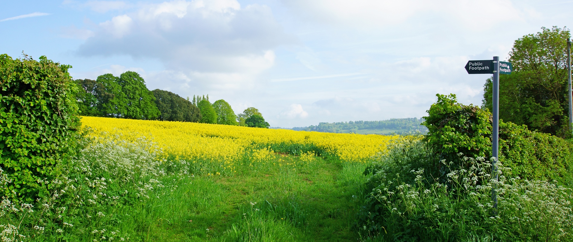
An image of the countryside on a sunny day with a public footpath sign pointing the way

CAMS is a complete database and map management system designed to simplify the task of maintaining Rights of Way, National Trails, Cycle Routes and Access Land.

It delivers:

  • detailed path inventories
  • condition survey data
  • promoted path management
  • asset management
  • surface details
  • maintenance and enquiry management
  • contract management
  • legal events
 

Full CAMS features list

Designed to conform with the Public Rights of Way standard BS7666 it builds on over 20 years of experience and over 65 CAMS clients, a CAMS User Group and dedicated CAMS technical support team.

We also provide CAMS training and a range of rights of way and access consultancy services.

The family of CAMS products includes:

Further information

Contact Kathryn Steemson, or phone +44 (0)3330 146883.

https://www.esdm.co.uk/cams-countryside-access