Posts in Category: Network analysis

Ceredigion Annual BVPI Survey

Client: Ceredigion County Council

Ceredigion BVPI SurveyCeredigion County Council required a condition survey carried out on a 5% sample of the Rights of Way network. exeGesIS undertook the survey, analysed the condition data and produced reports. The data was also imported into CAMS in order to make it accessible to all officers responsible for the network.

... read more
 

Heads of the Valleys Greenspace Provision Analysis

Client: A consortium of Blaenau Gwent, Caerphilly, Torfaen, Merthyr and Rhondda Cynon Taff County Borough Councils

Heads of the Valleys Greenspace provisionOver several years exeGesIS undertook a number of analyses of Greenspace provision, comparing the results against the standards in the CCW Greenspace Toolkit. Analysis was undertaken to determine the distance between each postcode and the nearest access point on the nearest Greenspace.

... read more
 

RCT Rights of Way Definitive Map Update

Client: Rhondda Cynnon Taf County Borough Council

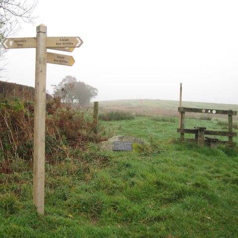
Various datasets relating to the rights of way management in Rhondda Cynnon Taf had fallen out of date, and exeGesIS was asked to assist Rhondda Cynnon Taf County Borough Council with the task of updating and correcting this information, using data from multiple sources to do so.

... read more
 

Water recreation

Client: Defra

exeGesIS provided data collation, analysis and reporting services for a national project researching access to water-based recreation facilities across the UK. Water resource datasets were compiled and were subjected to network analysis to determine the accessibility of water resources.

... read more
 
Find out more