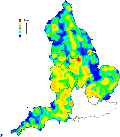
 Exegesis' expertise in capturing, manipulating and analysing spatial datasets extends into the management of ecological data. We can:
- Assess and evaluate ecological data
- Interpret aerial photographs
- Efficiently digitise small and large-scale datasets
- Manipulate existing spatial data to meet clients requirements
- Perform simple and complicated analysis
- Create spatial models to test theories and make predictions
- Statistically analyse data using R
Exegesis has significant in-house ecological expertise which ensures a complete understanding of habitat and species datasets. It also means that we can interpret descriptions and plant species lists to identify, with a good degree of certainty, the likely habitat.
Examples of data capture, management and analysis projects can be found in our portfolio.