 Natural England requires information on the distribution and extent of habitats listed in Annex I of the Habitats Directive to assist with reporting under Article 17 of the Directive. In order to meet this requirement, they contracted Exegesis to scope the options for producing an inventory of Annex I habitats for England. This involved a review of habitat mapping activities occurring in other European Union countries and data sources that could be used in England, along with the creation of prototype inventories.
The review of other habitat mapping activities highlighted the range of approaches in use, including the incorporation of existing data, remote sensing and field survey. These approaches were summarised to form a list of possible options for inventory creation, from which a preferred approach was selected based upon the options available and some innovation where solutions more appropriate to England were required.
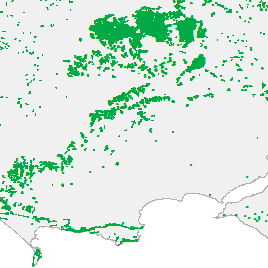
The prototype inventories were created based upon data already available to Natural England. These covered the whole of England for all 64 terrestrial, freshwater and coastal Annex I habitats. The presence of Annex I habitat was identified based upon existing habitat data, automatically searching for habitat codes that correspond to each Annex I habitat. Coverage, gaps and confidence was assessed for each source dataset and resulting inventory.
Further information from Crispin Flower.