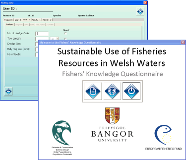
Exegesis were contracted by Bangor University to adapt the FishMap Mon data capture tool so that they could use it to capture data for their Fisher Knowledge Questionnaire.
 The FishMap Mon tool was redeveloped by Exegesis for Natural Resources Wales based upon ScotMap. The tool is an ArcGIS 9.3 map document that provides a series of forms and digitising tools that allow fishermen to draw fishing areas and enter the associated data. The data was stored in an ESRI Personal Geodatabase.
During this work the tool was further refined to capture:
- current and historical fishing areas
- hotspots
- migration routes
- nursery areas
- areas of conflict with other activities
In addition more detailed questions were added regarding the types of gear used by the fishermen, and functionality was added so that fishermen could rank the fishing areas and provide details on economic importance.
Further information from Claire Lush.