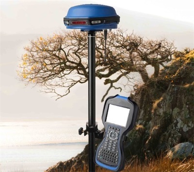
 Pembrokeshire Coast National Park Authority had a new footpath dedicated by a landowner. It was necessary to capture the precise line of the path on the ground using GPS to add the route to their digital Definitive Map, held in their CAMS application.
The site of the path was steeply sloping with significant vegetation cover, making it difficult for standard GPS receivers to get an accurate fix.
Working with the National Park authority, exeGesIS used high-precision GPS equipment to mark the line of the path, achieving sub-metre accuracy. These GPS data were used to create a map layer that could be incorporated into the authority's CAMS and GIS applications.
Further information from Timothy Derbyshire.