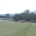
 Working with Powys Council, we developed a new module for CAMS to allow users to manage the Register of Common Land and Village Greens. This new module makes it easy for them to fulfil their statutory duties in this area. The solution integrates GIS mapping of the Common Land and Village Green parcels with full information on the land ownership, rights holders, rights particulars and more.
...
read more